Data Model: A consistent way of defining and representing real world entities or phenomena in a GIS.
Data models are also referred to as "data types".
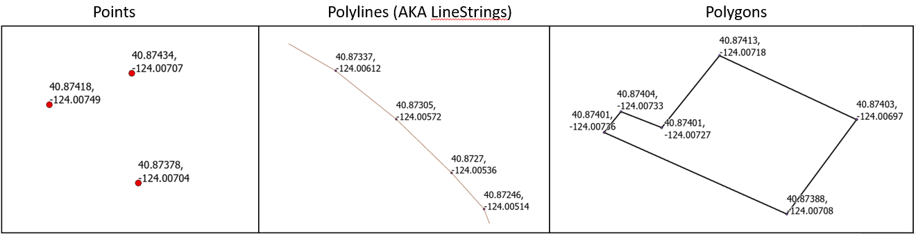
There are two types of data models that you will use regularly within a GIS:
The graphic below shows that we are always representing the "real world". Vector and raster data models represent the real world in different ways. Each has it's advantages.
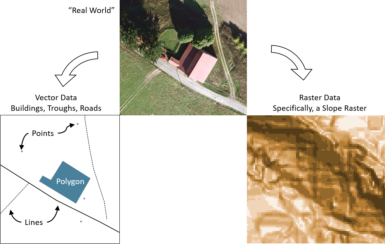
Vector data is the most common type of data and you've already created your own vector data.
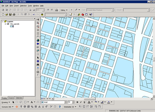
A parcel map of Arcata, California loaded into ArcMap.
Raster data models cover an area with a uniform grid of points. Raster data is basically the same data that you have when you take a picture. In GIS, these "pictures" just referenced to the earth. In GIS, we can represent a large variety of information in rasters. Below is a "Digital Elevation Model" or "DEM". In a DEM, each pixel contains a number that is the approximate average elevation for the area covered by the pixel. The image on the right shows a zoomed in section of the raster showing that the pixels appear square to us.
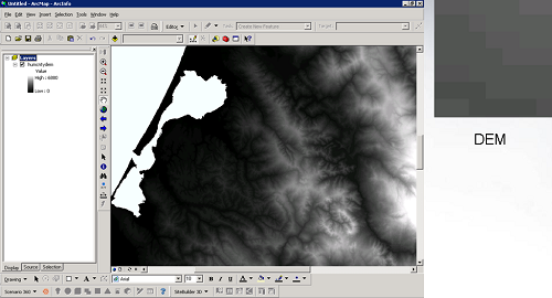
Raster showing the elevations of the land around Humboldt Bay
© Copyright 2018 HSU - All rights reserved.